
District Thane Website maharashtra.gov.in Local time Sunday 3:20 PM | Time zone IST (UTC+5:30) Elevation 9 m ISO 3166 code ISO 3166-2:IN | |
 | ||
Weather 31°C, Wind NW at 23 km/h, 37% Humidity Neighborhoods Bobhate, Mangel Ali, Refai Mohalla, Patil Wada | ||
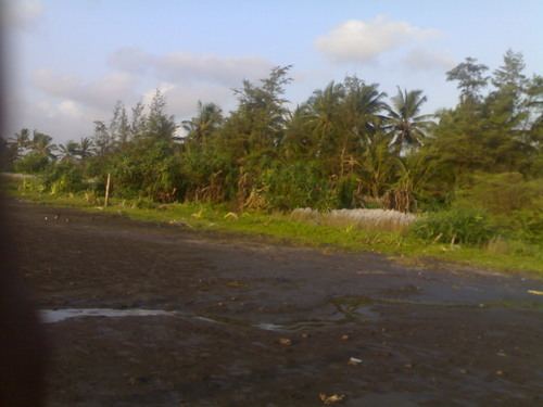
Bordi and chinchani beach
Chinchani is a census town in Palghar district in the state of Maharashtra, India.
Contents
Map of Chinchani, Maharashtra
Geography
Chinchani is located at 19.87°N 72.7°E / 19.87; 72.7. It has an average elevation of 9 metres (29 feet). It is well connected by roads and nearby railway station. Also it is the important center of education and commercial activities in the region. Chinchani has got one of the best natural, beautiful,and non-polluted sea-beach on the west coast.Incidentally there is a place in the province of Ayacucho, Peru with the same name Chinchani. This place is exactly on the other side of the globe and located at Latitude. -14.390833300000001°, Longitude. -73.878333299999994°.
Vangaon Railway station serves as a primary railway station around 8 km away. Boisar railway station is around 10 km, while Dahanu railway station is around 15 km from the town. Basically, a twin town of Chinchani-Tarapur which are separated geographical by border of Dahanu & Palghar talukas,where Chinchani come under Dahanu taluka & Tarapur in Palghar. Thus it enjoys good road connectivity with both the big towns as well as Boisar.Regular ST buses(state transport) & also Auto rickshaws ply to this nearby big towns.
Demographics
As of 2001 India census, Chinchani had a population of around 13,435. Males constitute 51% of the population and females 49%. Chinchani has an average literacy rate of 79%, higher than the national average of 59.5%; with male literacy of 83% and female literacy of 75%. 11% of the population is under 6 years of age.