
Elevation 4,042 ft (1,232 m) Area 80 km² | Climate Aw | |
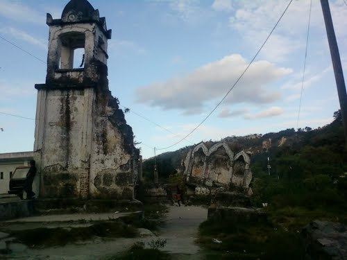 | ||
Chinautla ([tʃiˈnautla]) is a municipality in the Guatemala department of Guatemala. According to the 2002 census, it had a population of 77,071, making it the ninth-largest city in the country and the seventh largest in the Guatemala Department.
Contents
Map of Chinautla, Guatemala
Administrative division
Chinautla has eleven villages:
- Los Jocotales
- San Martín
- San José Buena Vista
- El Durazno
- Tres Sabanas
- Las Lomas
- Cumbre de Guayabo
- San Antonio las Flores
- San Rafael las Flores
- La Laguneta
- El Chan
- Concepción Sacojito
Climate
Chinautla has tropical climate (Köppen: Aw).
Geographic location
Located at the center of Guatemala Department, it is surrounded by municipalities of that Department only:
References
Chinautla Wikipedia(Text) CC BY-SA