
Sovereign state United Kingdom Local time Sunday 4:51 AM UK parliament constituency Ashford | Post town ASHFORD Dialling code 01233 | |
 | ||
Weather 5°C, Wind SW at 16 km/h, 87% Humidity | ||
Keep chilmington green
Chilmington Green is a hamlet on the edge of the Kentish Weald comprising 10 listed buildings. It is south-west of the town of Ashford. The population at the 2011 Census was included in the civil parish of Great Chart with Singleton.
Contents
- Keep chilmington green
- Map of Chilmington Green Ashford UK
- Bbc news coverage of chilmington green
- References
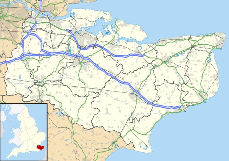
Map of Chilmington Green, Ashford, UK
In 2014, Ashford Borough Council approved plans for a new town of up to 5,750 houses plus a countryside park, a secondary school, four primary schools, a supermarket and a new high street and market square on 1,000 acres of agricultural land around the hamlet.
Some local residents are opposed to the plans and have launched a campaign to resist them.
The area is home to numerous endangered species including great crested newts, water voles and brown hares.
Bbc news coverage of chilmington green
References
Chilmington Green Wikipedia(Text) CC BY-SA