Time zone IST (UTC+5:30) Area 8.72 km² Population 27,360 (2011) | Founded by Chikka nayaka PIN 572214 Elevation 804 m Local time Sunday 5:22 AM | |
 | ||
Weather 21°C, Wind SW at 3 km/h, 93% Humidity | ||
Chikkanayakana Halli is a town (taluk headquarters) in Tumkur district, in the state of Karnataka, India. It is 67 km away from Tumkur and 132 km from Bangalore.
Contents
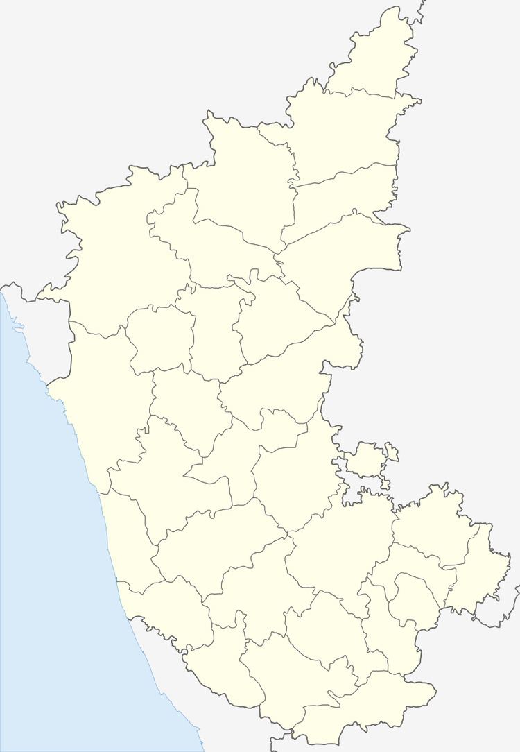
Map of Chikkanayakanahalli, Karnataka 572214
Geography
Chikkanayakana-halli is located at 13.42°N 76.62°E / 13.42; 76.62. It has an average elevation of 804 metres (2637 feet).
Demographics
As of 2001 India census, Chikkanayakana-halli had a population of 22,360. Males constitute 50% of the population and females 50%. Chikkanayakana-halli has an average literacy rate of 70%, higher than the national average of 59.5%; with male literacy of 76% and female literacy of 64%. 11% of the population is under 6 years of age.
References
Chikkanayakana Halli Wikipedia(Text) CC BY-SA
