
Area 14,864 km² Capital Dindiza | Province Gaza Population 20,685 (2007) | |
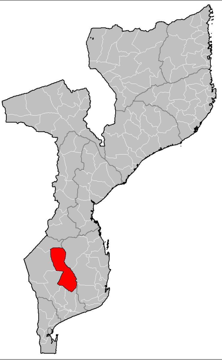 | ||
Chigubo District is a district of Gaza Province in south-western Mozambique. The administrative center of the district is Dindiza. The district is located in the east of the province, and borders with Massangena District in the north, Mabote and Funhalouro Districts of Inhambane Province in the east, Chibuto District in the south, Guijá District in the southwest, Mabalane District in the west, and with Chicualacuala District in the northwest. The area of the district is 14,864 square kilometres (5,739 sq mi). It has a population of 20,685 (2007).
Contents
- Map of Chigubo Mozambique
- Geography
- History
- Demographics
- Administrative divisions
- Economy
- Agriculture
- Transportation
- References
Map of Chigubo, Mozambique
Geography
The Changane River, a major left tributary of the Limpopo River, makes a border of the district with Inhambane Province. The area of the district belongs to the drainage basin of the Limpopo.
The climate is tropical arid, with the average annual rainfall being 500 millimetres (20 in).
Banhine National Park, part of Great Limpopo Transfrontier Park, is shared between Chigubo, Chicualacuala, and Mabalane Districts. The area of the park within Chigubo District is 3,000 square kilometres (1,200 sq mi).
History
Until 1986, there was a posto in Chicualacuala District. In 1986, Chigubo District was established.
Demographics
As of 2005, 47% of the population of the district was younger than 15 years. 59% of the population spoke Portuguese. The most common mothertongue among the population was Tsonga. 82% were analphabetic, mostly women.
Administrative divisions
The district is divided into two postos, Chigubo (two localities) and Dindiza (alternatively spelled Ndindiza, two localities).
Economy
Less than 1% of the households in the district have access to electricity.
Agriculture
In the district, there are 2,500 farms which have on average 4.3 hectares (0.017 sq mi) of land. The main agricultural products are corn, cassava, cowpea, peanut, sweet potato, and rice.
Transportation
There is a road network in the district which includes about 800 kilometres (500 mi) of secondary roads, mainly connecting Chigubo with the rest of the district.