
Region Lambayeque UBIGEO 1401 | ||
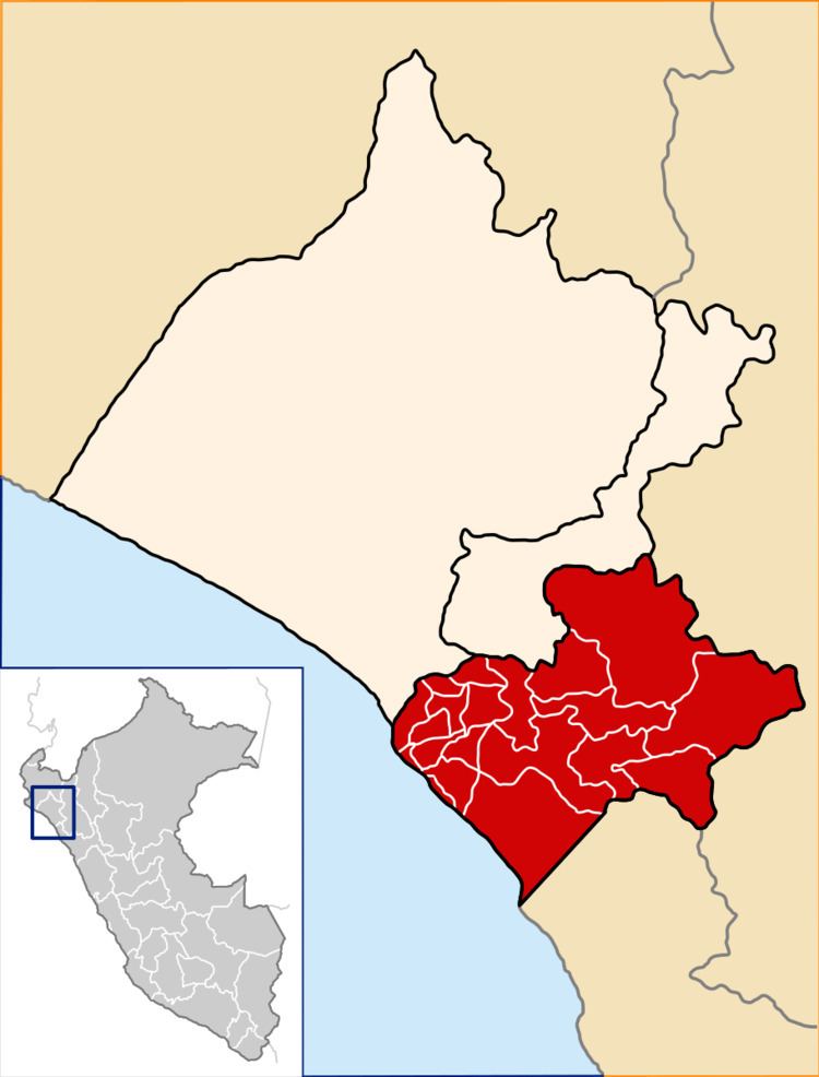 | ||
The Chiclayo Province is one of three provinces of the Lambayeque Region in Peru.
Contents
Map of Chiclayo, Peru
Boundaries
Political Division
The province is divided into twenty districts, which are.
Population
The province has an estimated province of 729,433 inhabitants.
Capital
The capital of this province is the city of Chiclayo which is the fourth largest in Peru.
Relief
The terrain of the province is mainly flat, with smooth slopes which elevate from west to east. Here is distinguished slight undulations and uneven elevations formed by continuous alluvial actions, of nature or of man. The cultive lands have been object of an intense work of leveling to facilitate the irrigation.
References
Chiclayo Province Wikipedia(Text) CC BY-SA