
Area 146.7 km² Length 94.8 km | Surface area 36,240 acres (147 km) Surface elevation 208 m | |
 | ||
Primary inflows Catchment area 20,790 square miles (53,846 km) Bridges Tennessee Highway 60 Bridge Inflow source Tennessee River, Hiwassee River | ||
Chickamauga Lake is a United States reservoir along the Tennessee River created when the Chickamauga Dam, as part of the Tennessee Valley Authority, was completed in 1940. The lake stretches from Watts Bar Dam at mile 529.9 (853 km) to Chickamauga Dam at mile 471.0 (758 km) making the lake 58.9 miles (94.8 km) long. It borders Rhea County, Meigs County, and Hamilton County with 810 miles (1,303 km) of shoreline and two bridges crossing it at State Highway 60 and Highway 30. The lake is commonly used for recreational and outdoor activities, especially at the southern end, due to the high population density surrounding it. It was named after the Chickamauga (tribe) of Cherokees who used to live in the area.
Map of Chickamauga Lake, Tennessee, USA
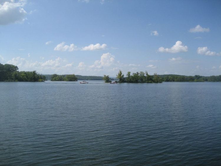
The Hiwassee River empties into Chickamauga lake at Hiwassee Island, just north of the Highway 60 bridge at mile 500 (804.5 km).
Chickamauga Lake is immediately downstream from Watts Bar Lake and immediately upstream from Nickajack Lake.
Full pool for Chickamauga lake is 682 feet (208 m) above sea level; the current lake level can be checked here. The normal operating zone is between 675 ft (206 m) and 677 ft (206 m) through the end of March, rising steadily to a summer range of 681.5 to 682.5 ft (207.7 to 208.0 m) by the middle of May. Then, full pool is maintained through the end of August, at which time the level drops steadily back down to 676 ft (206 m) by the end of November. Actual lake levels vary due to weather conditions and power needs.