
- elevation 1,330 m (4,364 ft) | - elevation 82 m (269 ft) | |
 | ||
- location Bandon Grove, north northwest of Dungog | ||
The Chichester River, a perennial stream of the Hunter River catchment, is located in the Hunter region of New South Wales, Australia.
Contents
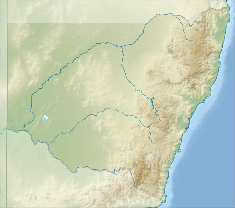
Map of Chichester River, Chichester NSW, Australia
Course
The Chichester River rises in the Chichester Range below Barrington Tops and east of Careys Peak, and flows generally southeast, joined by the Wangat River, before reaching its confluence with the Williams River at Bandon Grove, north northwest of Dungog. Chichester River descends 1,240 metres (4,070 ft) over its 42 kilometres (26 mi) course.
The river is impounded by Chichester Dam where some of its water is retained for water supply of Newcastle.
References
Chichester River Wikipedia(Text) CC BY-SA