
District Barddhaman Lok Sabha constituency Asansol Local time Saturday 9:30 PM | Time zone IST (UTC+5:30) Vidhan Sabha constituency Pandaveswar Population 13,806 (2011) | |
 | ||
Weather 26°C, Wind E at 3 km/h, 50% Humidity | ||
Chhora is a census town in Pandabeswar CD Block in Durgapur subdivision of Barddhaman district in the state of West Bengal, India.
Contents
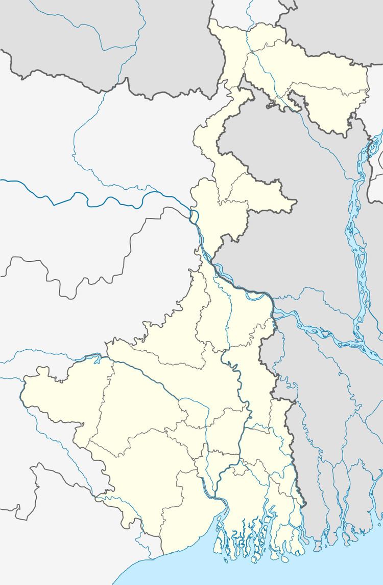
Map of Chhora, West Bengal 713322
Geography
Chhora is located at 23°40′07″N 87°11′55″E.
The Asansol-Durgapur region is composed of undulating latterite soil. This area lies between two mighty rivers – the Damodar and the Ajay. They flow almost parallel to each other in the region – the average distance between the two rivers is around 30 km. For ages the area was heavily forested and infested with plunderers and marauders. The discovery of coal led to industrialisation of the area and most of the forests have been cleared.
Demographics
As per the 2011 Census of India Chhora had a total population of 13,806, of which 7,308 (53%) were males and 6,498 (47%) were females. Population below 6 years was 1,721. The total number of literates in Chhora was 8,858 (73.30% of the population over 6 years).
As of 2001 India census, Chhora had a population of 12,839. Males constitute 55% of the population and females 45%. Chhora has an average literacy rate of 51%, lower than the national average of 59.5%; with male literacy of 60% and female literacy of 40%. 13% of the population is under 6 years of age.
Economy
It is in the heart of the coal mining zone.
Collieries in the Kenda Area of Eastern Coalfields are: New Kenda, Bahula, Lower Kenda, Haripur, Chora, Chora Incline, Siduli, C.I.Jambad and Chora OCP.
Education
Chhora has three primary and one higher secondary schools.