
Country United States Incorporated 1762 Elevation 435 m Population 1,222 (2010) | Settled 1760 Time zone Eastern (UTC-5) Zip code 01012 Local time Saturday 7:23 AM | |
 | ||
Weather -16°C, Wind W at 13 km/h, 57% Humidity | ||
How to say or pronounce usa cities chesterfield massachusetts
Chesterfield is a rural hill town in Hampshire County, Massachusetts, United States, 26 miles southeast of Pittsfield and 108 miles west of Boston. The population was 1,222 at the 2010 census. It is part of the Springfield, Massachusetts Metropolitan Statistical Area.
Contents
- How to say or pronounce usa cities chesterfield massachusetts
- Map of Chesterfield MA USA
- History
- Geography
- Points of interest
- Demographics
- References
Map of Chesterfield, MA, USA
History
Chesterfield was first settled in 1760 and was officially incorporated in 1762. It was named after the Earl of Chesterfield. The town center, established after the Revolution, has well-preserved Federal Period houses along Main Road. In its early days, the town supported a largely agricultural economy, with wool from Merino sheep as a major product. However, there were sawmills and tanneries in operation as well as cloth dressing mills, and in the early 19th century these superseded farming and brought in a small immigrant population that was mostly Irish. Progress wiped out most of the industry in Chesterfield and by the start of the 20th century a re-emerging agricultural economy developed alongside the growing trade from summer residents.
Geography
According to the United States Census Bureau, the town has a total area of 31.3 square miles (81 km2), of which 31.1 square miles (81 km2) is land and 0.2 square miles (0.52 km2) (0.61%) is water. Chesterfield's location is nearly equidistant from the northern, southern and western state lines of Massachusetts.
Chesterfield is located 52 miles (84 km) north of Hartford, Connecticut, 108 miles (174 km) west of Boston, 30 miles (48 km) northwest of Springfield, 64 miles (103 km) southeast of Albany, New York, 26 miles (42 km) east of Pittsfield, and 160 miles (260 km) northeast of New York City.
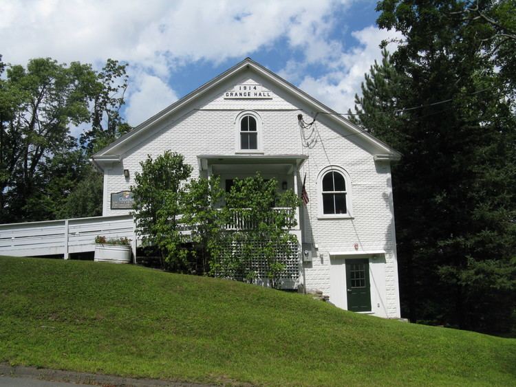
Points of interest
Demographics
At the 2000 census, there were 1,201 people, 447 households and 324 families residing in the town. The population density was 38.6 per square mile (14.9/km²). There were 524 housing units at an average density of 16.8 per square mile (6.5/km²). The racial makeup of the town was 98.67% White, 0.25% Asian, 0.25% Pacific Islander, 0.08% from other races, and 0.75% from two or more races. Hispanic or Latino of any race were 0.08% of the population.
There were 447 households of which 34.0% had children under the age of 18 living with them, 60.6% were married couples living together, 7.8% had a female householder with no husband present, and 27.3% were non-families. Of all households, 18.8% were made up of individuals and 6.5% had someone living alone who was 65 years of age or older. The average household size was 2.69 and the average family size was 3.09.
25.7% of the population were under the age of 18, 6.1% from 18 to 24, 29.8% from 25 to 44, 28.6% from 45 to 64, and 9.7% who were 65 years of age or older. The median age was 54 years. For every 100 females there were 99.5 males. For every 100 females age 18 and over, there were 96.0 males.
The median household income was $49,063 and the median family income was $57,361. Males had a median income of $35,417 versus $27,788 for females. The per capita income for the town was $19,220. About 3.4% of families and 5.7% of the population were below the poverty line, including 5.7% of those under age 18 and 3.4% of those age 65 or over.