Country United States GNIS feature ID 453378 Local time Friday 3:10 AM | State Indiana FIPS code 18-31630 Elevation 268 m Population 2,640 (2010) | |
 | ||
Weather -2°C, Wind SE at 6 km/h, 62% Humidity Area 109.4 km² (109.1 km² Land / 26 ha Water) | ||
Harrison Township is one of four townships in Blackford County, Indiana. As of the 2010 census, its population was 2,640 and it contained 1,196 housing units. The township was named after William Henry Harrison, hero of the Battle of Tippecanoe, former governor of the Indiana Territory, and ninth President of the United States.
Contents
- Map of Harrison Township IN USA
- Geography
- Cities and towns
- Unincorporated towns
- Major highways
- Cemeteries
- References
Map of Harrison Township, IN, USA
Geography
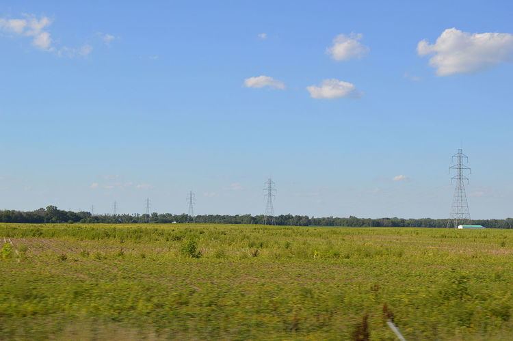
According to the 2010 census, the township has a total area of 42.23 square miles (109.4 km2), of which 42.13 square miles (109.1 km2) (or 99.76%) is land and 0.1 square miles (0.26 km2) (or 0.24%) is water. Lake Blue Water and the Godfrey Reserve are in this township. The Salamonie River runs through the township's northeast corner.
Cities and towns
Unincorporated towns
Major highways
Cemeteries
The township contains at least eight cemeteries: Brookside, Independent Order of Odd Fellows, North Twibell, Penrod, Pleasantdale, South Twibell, St Margaret's Roman Catholic, and Woodlawn.
