
Type reservoir Area 116.5 km² Length 94.95 km | Primary inflows Surface elevation 327 m Shore length 643.7 km Outflow location Holston River | |
 | ||
Surface area 28,780 acres (11,650 ha) | ||
Bassmaster elite series cherokee lake teaser
Cherokee Lake, also known as Cherokee Reservoir, is a reservoir in Tennessee formed by the impoundment of the Holston River behind Cherokee Dam.
Contents
Map of Cherokee Reservoir, Tennessee, USA
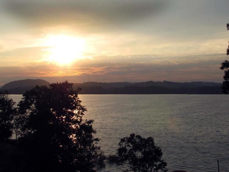
The reservoir has a surface area of about 28,780 acres (11,650 ha), a flood-storage capacity of 749,406 acre feet (924,379,000 m3), and nearly 400 miles (640 km) of shoreline. In a normal year, the lake water level fluctuates over a range of about 27 feet (8.2 m).
Cherokee Dam is a Tennessee Valley Authority dam intended for hydroelectric generation and flood control. The dam was built on a crash schedule; construction started August 1, 1940, and was completed on December 5, 1941.
Public access areas, Panther Creek State Park and other public parks, commercial boat docks and resorts, and a state wildlife management area on the shores of the lake attract extensive recreational use.
In order to maintain dissolved oxygen concentrations in the river below the dam at levels that will support aquatic life, perforated hoses suspended above the bottom of Cherokee Reservoir are used to inject oxygen into the reservoir water and devices which resemble large underwater fans located just above the dam are used to push warm oxygenated water downward to the depths where water is released for hydroelectric generation.