
Country United States Time zone Eastern (EST) (UTC-5) Elevation 279 m Area code 607 | State New York GNIS feature ID 946482 Local time Friday 11:20 PM | |
 | ||
Weather -9°C, Wind W at 19 km/h, 67% Humidity | ||
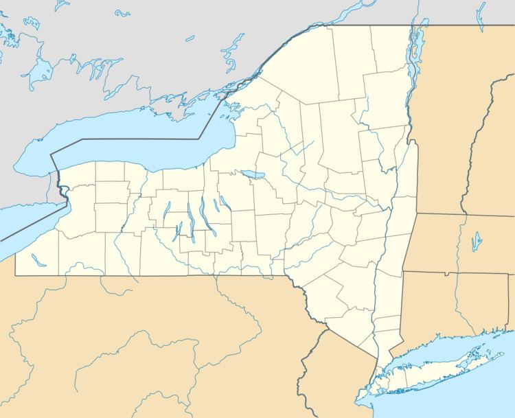
Chenango Forks is a hamlet located in Broome County, New York in the United States. The community is partly in the town of Chenango and partly in the town of Barker.
Map of Chenango Forks, NY 13746, USA
Chenango Forks is about 9 miles (14 km) north of Binghamton on Route 12 and is at the confluence of the Chenango River and Tioughnioga River. Chenango Valley State Park is southwest of the hamlet. Chenango Forks is a few miles from the border of Chenango County, New York.
Chenango Forks is part of the Greater Binghamton Metropolitan Statistical Area.
The Chenango Canal Prism and Lock 107 was listed on the National Register of Historic Places in 2010.
References
Chenango Forks, New York Wikipedia(Text) CC BY-SA