
Local time Saturday 2:18 AM | ||
 | ||
Weather -3°C, Wind S at 8 km/h, 83% Humidity | ||
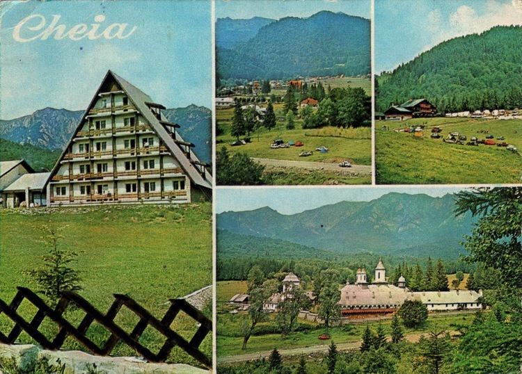
Cheia is a mountain resort, 60 kilometers north of Ploieşti, Prahova county, Romania. Situated in the Teleajen Valley, it is surrounded by Ciucaş Mountain and Zăganu Mountain.
Map of Cheia 107356, Romania
Heights, as shown in the panoramic photo (from left to right, view from the Babeş peak):
Cheia Monastery is located to the southeast of the town.
References
Cheia Wikipedia(Text) CC BY-SA