
Vehicle registration WB Local time Friday 11:52 PM | Time zone IST (UTC+5:30) Website s24pgs.gov.in Population 24,985 (2011) | |
 | ||
Weather 24°C, Wind S at 11 km/h, 85% Humidity | ||
Chatta Kalikapur is a census town in Thakurpukur Mahestala CD Block under Maheshtala police station in Alipore subdivision in South 24 Parganas district in the state of West Bengal, India.
Contents
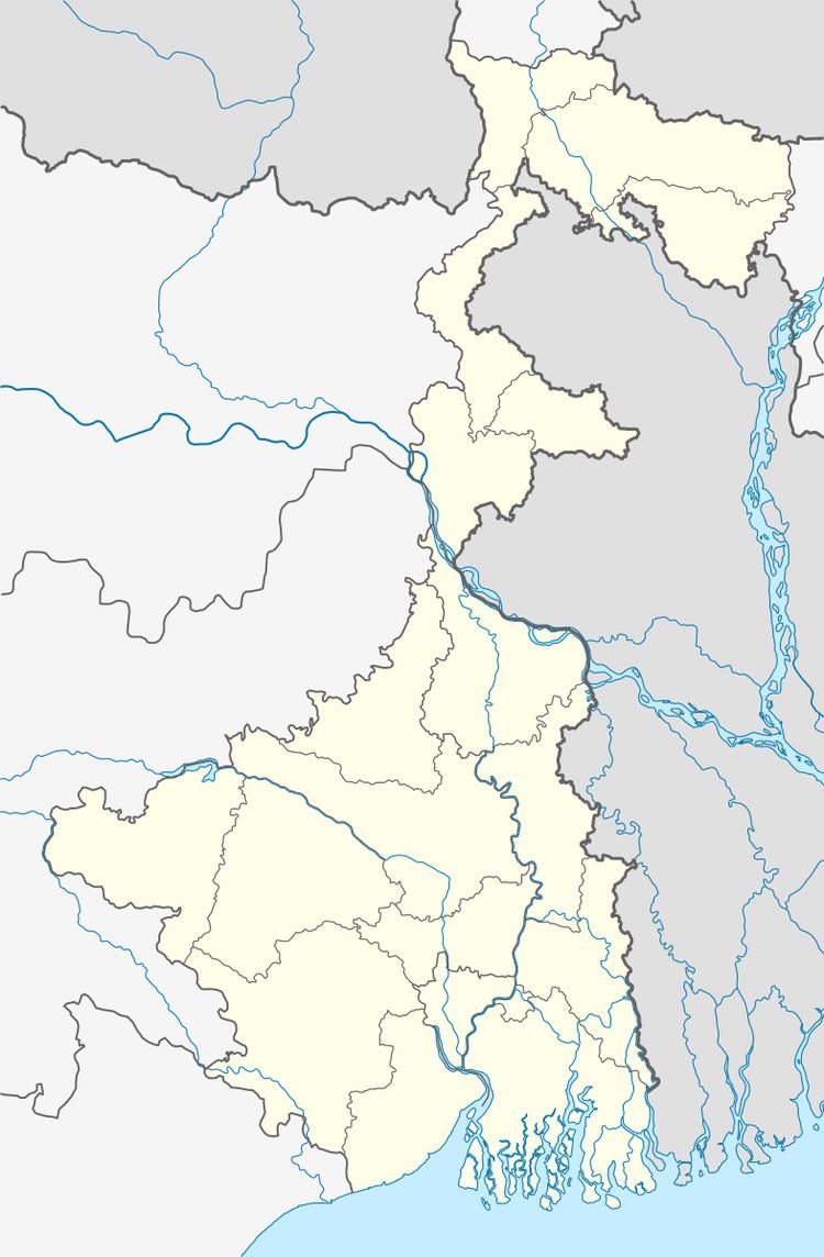
Map of Chata Kalikapur, Kolkata, West Bengal 700141
Geography
Chatta Kalikapur is located at 22.47°N 88.26°E / 22.47; 88.26.
Demographics
As per 2011 Census of India Chata Kalikapur had a total population of 24,985, of which 12,709 (51%) were males and 12,276 (49%) were females. Population below 6 years was 3,318. The total number of literates in Chata Kalikapur was 16,715 (77.15 % of the population over 6 years).
The following Municipalities and Census Towns in South 24 Parganas district were part of Kolkata Urban Agglomeration in 2011 census: Maheshtala (M), Joka (CT), Balarampur (CT), Chata Kalikapur (CT), Budge Budge (M), Nischintapur (CT), Uttar Raypur (CT), Pujali (M), and Rajpur Sonarpur (M).
As of 2001 India census, Chata Kalikapur had a population of 20,087. Males constitute 51% of the population and females 49%. Chata Kalikapur has an average literacy rate of 57%, lower than the national average of 59.5%; with male literacy of 63% and female literacy of 52%. 15% of the population is under 6 years of age.