Area 7.4 km² | Canton Vichy-1 Population (2012) 790 Local time Friday 4:35 PM | |
 | ||
Weather 16°C, Wind S at 26 km/h, 49% Humidity | ||
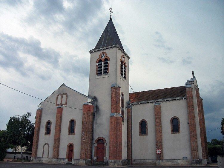
Charmeil is a commune in the Allier department in central France.
Contents
Map of 03110 Charmeil, France
Geography
Accessible by departemental roads 6 and 27, Charmeil is located 5 kilometres (3.1 mi) northwest of Vichy, 3 kilometres (1.9 mi) south of Saint-Rémy-en-Rollat, 4 kilometres (2.5 mi) east of Vendat, and 4 kilometres (2.5 mi) north of Bellerive-sur-Allier.
A weather station is located on the site of the airport, elevation: 249 metres (817 ft).
Administration
List of successive mayors:
Economy
Charmeil has a commercial area with signs: Mr Bricolage, Jardiland, a Gifi store, Lidl, a Chinese restaurant and local merchants.
Culture and Heritage
References
Charmeil Wikipedia(Text) CC BY-SA
