
Country India District Mahoba Time zone IST (UTC+5:30) Elevation 184 m Local time Friday 11:21 AM | State Uttar Pradesh Founded by anonymous PIN 210421 Population 23,823 (3000) | |
 | ||
Weather 28°C, Wind NE at 11 km/h, 32% Humidity | ||
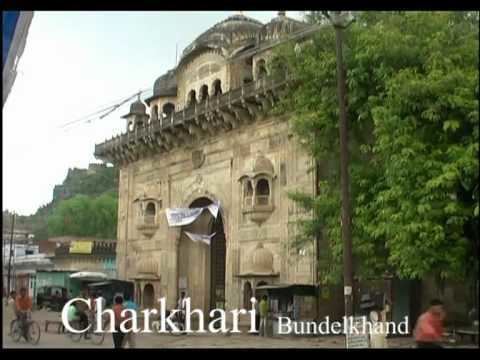
Charkhari bundelkhand india
Charkhari State is a town in Mahoba district of Uttar Pradesh state, India.
Contents
- Charkhari bundelkhand india
- Map of Charkhari Uttar Pradesh 210421
- Geography
- History
- Demographics
- References
Map of Charkhari, Uttar Pradesh 210421
Geography
Charkhari State is located at 25.4°N 79.75°E / 25.4; 79.75. It has an average elevation of 184 metres (603 feet). Charkhari is also known as the 'Kashmir of Bundelkhand'. The town is surrounded by many lakes.
History
Charkhari State was one of the Princely states of India during the period of the British Raj. The state was founded in 1765 by Bijai Bahadur, a Rajput of Bundela clan. On India’s independence, this Princely state was acceded to India.
Demographics
As of 2001 India census, Charkhari had a population of 23,823. Males constitute 53% of the population and females 47%. Charkhari state has an average literacy rate of 58%, lower than the national average of 59.5%; with male literacy of 68% and female literacy of 47%. 16% of the population is under 6 years of age.