Time zone YAKT (UTC+09:00) | Population 2,119 (2010) | |
 | ||
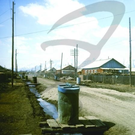
Chara (Russian: Чара) is a rural locality (a selo) and the administrative center of Kalarsky District of Zabaykalsky Krai, Russia, located on the Chara River at an elevation of 710 meters (2,330 ft) above sea level. Population:1,903 (2010 Census); 2,063 (2002 Census); 3,441 (1989 Census).
Contents
Map of Chara, Zabaykalsky Krai, Russia, 674150
Geography
The Chara Sands, a 34 square kilometers (13 sq mi) area of active sand dunes, lies 5 kilometers (3.1 mi) southwest of Chara.
Climate
Chara has a subarctic climate (Köppen climate classification Dwc), with long, bitterly cold winters and warm, mild summers. Precipitation is quite low but is much higher in summer than at other times of the year.
Transportation
It is served by the Chara Airport.
References
Chara (rural locality) Wikipedia(Text) CC BY-SA
