
County Monroe Elevation 774 ft (236 m) Local time Thursday 7:59 PM | State Indiana Time zone Eastern (EST) (UTC-5) | |
 | ||
Weather 3°C, Wind W at 23 km/h, 57% Humidity | ||
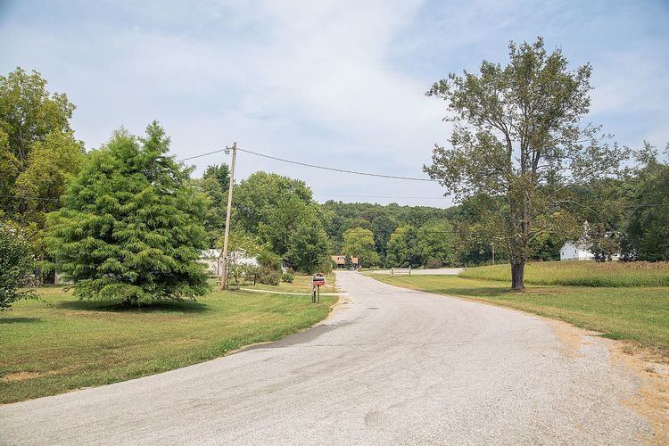
Chapel Hill is an unincorporated community in Polk Township, Monroe County, in the U.S. state of Indiana.
Contents
Map of Chapel Hill, IN 47436, USA
History
Chapel Hill was platted in 1856. The community took its name from the Chapel Hill Methodist Church located there. The community ultimately would fail to grow to its founders' expectations. A post office was established at Chapel Hill in 1897, and remained in operation until 1925.
Geography
Chapel Hill is located at 38°59′55″N 86°26′57″W.
References
Chapel Hill, Indiana Wikipedia(Text) CC BY-SA