
Country United States Time zone CST (UTC-6) Elevation 146 m Local time Thursday 12:58 PM | Established November 6, 1923 ZIP codes 62627, 62673 Area 65.73 km² Population 515 (2010) | |
 | ||
Weather 3°C, Wind NW at 21 km/h, 57% Humidity | ||
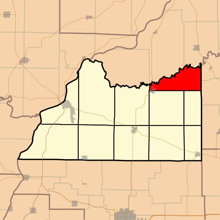
Chandlerville Township is one of eleven townships in Cass County, Illinois, USA. As of the 2010 census, its population was 515 and it contained 262 housing units.
Contents
- Map of Chandlerville Township IL USA
- Geography
- Cities towns villages
- Cemeteries
- Major highways
- Rivers
- Lakes
- School districts
- Political districts
- References
Map of Chandlerville Township, IL, USA
Geography
According to the 2010 census, the township has a total area of 25.38 square miles (65.7 km2), of which 25.03 square miles (64.8 km2) (or 98.62%) is land and 0.35 square miles (0.91 km2) (or 1.38%) is water.
Cities, towns, villages
Cemeteries
The township contains these three cemeteries: Harbison-Davis, Hickey and Mount Olive.
Major highways
Rivers
Lakes
School districts
Political districts
References
Chandlerville Township, Cass County, Illinois Wikipedia(Text) CC BY-SA