
Time zone IST (UTC+5:30) Area 4.66 km² Population 17,067 (2011) Area code 08671 | Mandal Challapalli PIN 521126 Elevation 6 m Local time Thursday 5:45 AM | |
 | ||
Weather 27°C, Wind S at 8 km/h, 88% Humidity Neighborhoods Sivaramadurgapuram, Vysya Bazar, Radha Nagar | ||
Gudivada to challapalli beautiful villages in andhra pradesh
Challapalli is a village in Krishna district of the Indian state of Andhra Pradesh. It is located in Challapalli mandal of Machilipatnam revenue division. Challapalli is one of the villages in the mandal to be a part of Andhra Pradesh Capital Region.
Contents
- Gudivada to challapalli beautiful villages in andhra pradesh
- Map of Challapalli Andhra Pradesh
- Sri prudhweswara swamy temple at nadakuduru village challapalli mandal
- Geography
- Demographics
- References
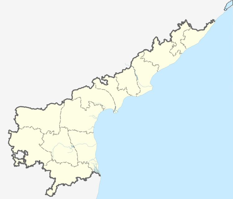
Map of Challapalli, Andhra Pradesh
Sri prudhweswara swamy temple at nadakuduru village challapalli mandal
Geography
Challapalli is located at 16.1167°N 80.9333°E / 16.1167; 80.9333. It has an average elevation of 7 metres (22 ft).
Demographics
As of 2011 Census of India, the town had a population of 17,067. The total population constitute, 8,183 males and 8,884 females. Average sex ratio of the village is 1086 females per 1000 males, higher than the national average of 940 per 1000. 936 children are in the age group of 0–6 years, of which 770 are boys and 721 are girls—a ratio of 946 per 1000. The average literacy rate stands at 83.28% with 12,971 literates, significantly higher than the national average of 73.00%.