
Vehicle registration GJ Elevation 160 m Local time Thursday 4:20 AM | Time zone IST (UTC+5:30) Website gujaratindia.com Population 16,721 (2011) | |
 | ||
Weather 22°C, Wind W at 8 km/h, 69% Humidity | ||
Chalala railway station gujarat india in its 1947 condition
Chalala is a city and a municipality in Amreli district in the state of Gujarat, India. This town is famous for its great saint named Apa Dana, sometimes the chalala is also referred as Danevdham. Apa Dana was a great saint who dedicated their in serving people and cows. Apa dana started sadavrat(free meal system) in chalala during the draughts. They developed their Gaushala in their ashram in Chalala and spent their life serving people and cows.
Contents
- Chalala railway station gujarat india in its 1947 condition
- Map of Chalala Gujarat 365630
- Geography
- Demographics
- References
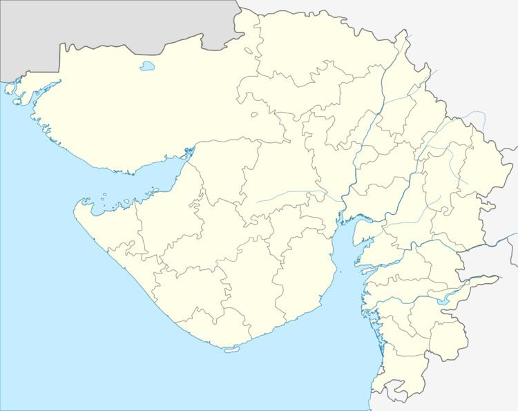
Map of Chalala, Gujarat 365630
Geography
Chalala is located at 21.42°N 71.17°E / 21.42; 71.17. It has an average elevation of 160 metres (524 feet).
The nearby Airports are at Ahmedabad, Bhavnagar and Rajkot. With Airport of Amreli, chalala's district place not been functional because of inefficiency of politicians who are busy filling their pockets. But Ventura AirConnect, an airline company floated by the diamond barons and a leading realtor from the diamond city, Has announced its plans to launch flight services from Surat to Amreli starting from Dusshera festival 2016(11th october 2016). Now its running daily.
Demographics
As of 2011 India Chalala had a population of 16,721, of which 8,561 are males while 8,160 are females as per report released by Census India 2011. Literacy rate of Chalala city is 80.11 %, higher than state average of 78.03 %. In Chalala, Male literacy is around 86.68 % while female literacy rate is 73.28 %. Population of Children with age of 0-6 is 1738 which is 10.39 % of total population of Chalala.