
District Purbi Singhbhum Telephone code 9204056614 Elevation 115 m Local time Thursday 3:55 AM | Time zone IST (UTC+5:30) Vehicle registration JH Population 14,330 (2001) Area code 9204056614 | |
 | ||
Weather 21°C, Wind SE at 3 km/h, 92% Humidity | ||
Chakulia is a small town and a notified area in Purbi Singhbhum district in the state of Jharkhand, India.
Contents
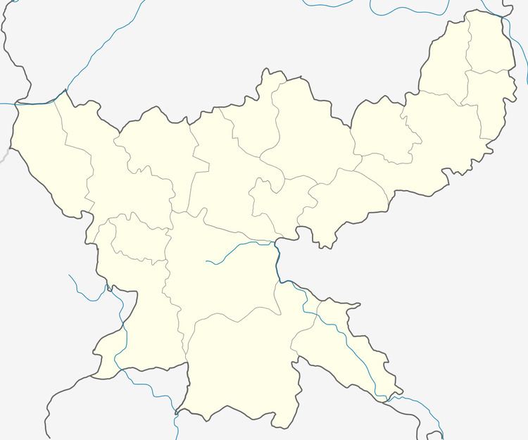
Map of Chakulia, Jharkhand 832301
Geography
Chakulia is located at 22.48°N 86.72°E / 22.48; 86.72. It has an average elevation of 115 metres (377 feet). Lying on the foothills of Dalma Hills, this place is widely known for its natural beauty.
History
An airfield was built here by the British in 1942 to conduct raids against the advancing Japanese in Burma and also for operations to transport aid to parts of China. Also, in 1971, during the war of independence of Bangladesh, a guerrilla training camp was set up and used for training volunteers.
.
Demographics
As of 2001 India census, Chakulia had a population of 14,330. Males constitute 52% of the population and females 48%. Chakulia has an average literacy rate of 64%, higher than the national average of 59.5%; with male literacy of 73% and female literacy of 54%. 13% of the population is under 6 years of age.
Transportation
Chakulia is well connected by Railways and Roads. It lies in the Howrah-Mumbai rail route. It is also among the major economic hubs which lie between Jamshedpur and Kharagpur. Chakulia also has an Airfield which was used heavily during the World War II.