Time zone IST (UTC+5:30) | Population 943 (2011) | |
 | ||
Weather 13°C, Wind NE at 11 km/h, 78% Humidity | ||
Chak Diyalla or Chakdyala is a village in the Indian Jammu and Kashmir. It is located in Hiranagar tehsil of Kathua district.
Contents
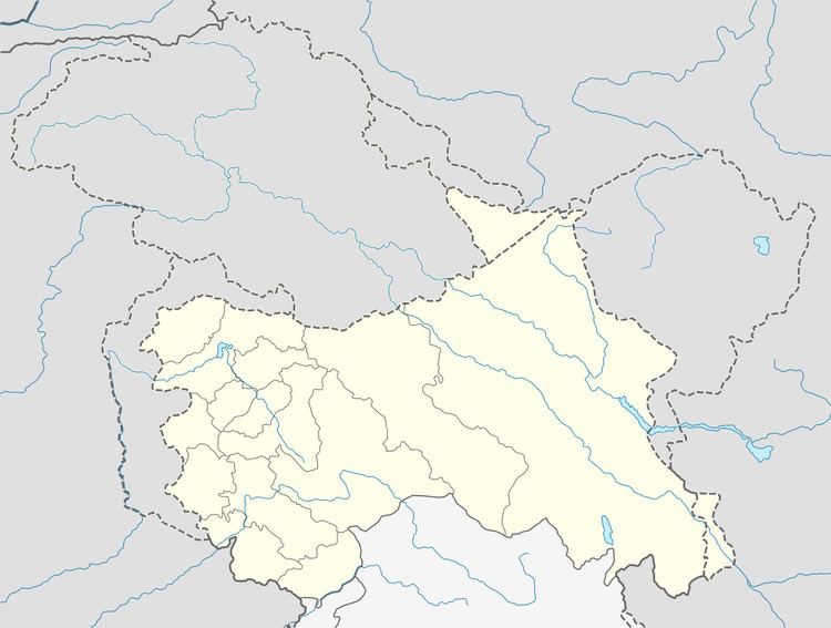
Map of Chak Dayala 184142
Demography
According to 2011 census, Chack Dayala has total 187 families residing with population of 943 of which 495 were males while 448 were females. Average Sex Ratio of Chak Diyalla village is 905 which is higher than Jammu and Kashmir state average of 889. Literacy rate of village was 86.08% higher than state literacy of 67.16%. Male literacy stands at 92.27% while female literacy rate was 79.45%.
Schedule Caste (SC) constitutes 4.35% of total population in Chak Diyalla village. The village Chak Diyalla currently doesn’t have any Schedule Tribe (ST) population.
Transport
Chak Dayala is 5 km away from tehsil headquarter Hiranagar. While it is 64 km from winter capital Jammu city. Chak Dayala village has railway station.
Religious worships
There is also a temple in the town, Mata Vaishno Mandir Langerial.
