
Area 11.02 km² | ||
 | ||
Intercommunality Communauté de Communes de la Haute Vallée d'Azergues | ||
Chénelette is a commune in the Rhône department in eastern France.
Contents
Map of 69430 Ch%C3%A9nelette, France
Geography
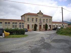
Chénelette is a small village of approximately 300 people (2012) located in the north-west of the Rhône Department, notably in the Beaujolais region. The surrounding landscape is one of forests, mountains (of the Massif Central), and pastures; and is frequented by hikers and outdoor enthusiasts. The village has an elevation of 660 meters and enjoys spectacular views. It is located approximately 60 kilometres north-northwest of Lyon (as the crow flies) and about 375 kilometres south-south west of Paris (as the crow flies). It lies between Roanne and Mâcon.
History
Chénelette has its roots from the Middle Ages when, in the thirteenth century, a castle was built at the peak of the Mont Tourvéon (to the east of the village) by Louis de Pieux. Today the ruins of this castle can still be seen by climbing to the top of the mountain, which requires a considerable hike. Chénelette has been significant to the region because it has been a point of convergence for travellers from surrounding areas. During World War Two this region was occupied by German forces and was known for its considerable resistance.
Demographics
Demographic Evolution of Chénelette