
Area 14.97 km² | Canton Châtelus-Malvaleix Population (2008) 570 Local time Friday 5:16 PM | |
 | ||
Weather 15°C, Wind S at 23 km/h, 52% Humidity | ||
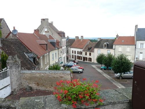
Châtelus-Malvaleix is a commune in the Creuse department in the Nouvelle-Aquitaine region in central France.
Contents
Map of 23270 Ch%C3%A2telus-Malvaleix, France
Geography
A village of farming, forestry, lakes and streams situated some 11 miles (18 km) northeast of Guéret, at the junction of the D3, D14, D40 and the D990 roads.
Sights
References
Châtelus-Malvaleix Wikipedia(Text) CC BY-SA