
Demonym(s) Cerrillano Area 21 km² Local time Wednesday 7:52 AM | Region Santiago Metro. Founded 17 March 1981 Time zone CLT (UTC-4) Elevation 517 m Area code 56 | |
 | ||
Weather 13°C, Wind NE at 8 km/h, 59% Humidity | ||
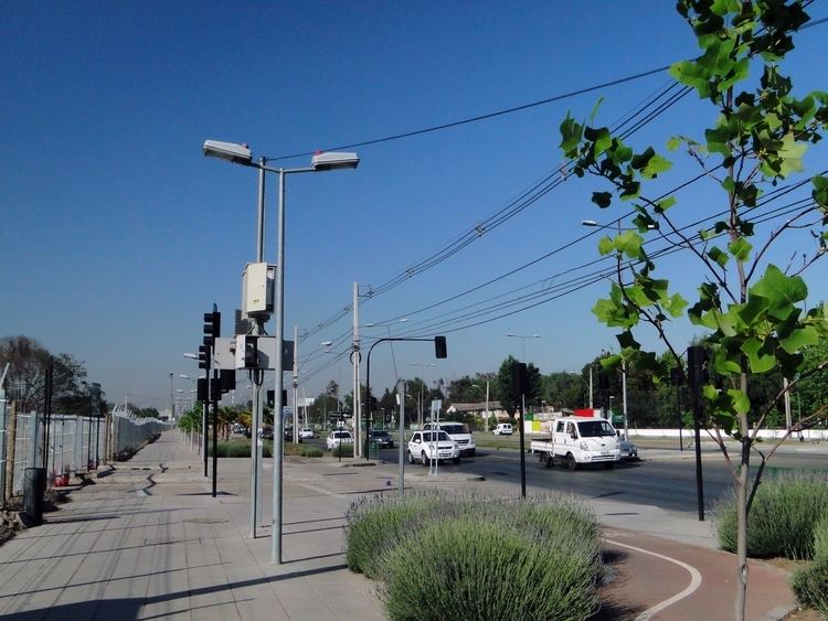
Parque bicentenario de cerrillos santiago de chile
Cerrillos (Spanish for "hillocks") is a census-designated commune of Chile in Santiago Province, Santiago Metropolitan Region, integrated into the Greater Santiago conurbation.
Contents
- Parque bicentenario de cerrillos santiago de chile
- Map of Cerrillos Santiago Metropolitan Region Chile
- Administration
- Demographics
- References
Map of Cerrillos, Santiago Metropolitan Region, Chile
Administration
As a commune, Cerrillos is a third-level administrative division of Chile administered by a municipal council, headed by an alcalde who is directly elected every four years. The 2012-2016 major is Arturo Aguirre Gacitúa (PS), and the council has the following members:
Within the electoral divisions of Chile, Cerillos is represented in the Chamber of Deputies as a part of the 20th electoral district (together with Estación Central and Maipú). The commune is represented in the Senate as part of the 7th senatorial constituency (Santiago-West).
Demographics
According to the 2002 census of the National Statistics Institute, the commune spans an area of 21 km2 (8 sq mi) and has a population of 71,906 living in 19,811 households, giving it a population density of 3,424.1/km2 (8,868/sq mi). At that time, there were 34,961 men and 36,945 women. The population fell 1.0% (743 persons) between the 1992 and 2002 censuses.