Country Canada Census division 4 Time zone MST (UTC-7) Elevation 765 m Population 111 (2016) Province Alberta | Highways Highway 9Highway 886 Area 95 ha Local time Wednesday 1:00 AM | |
 | ||
Weather -19°C, Wind NE at 11 km/h, 80% Humidity | ||
Cereal is a village in central Alberta east of Drumheller. It was named after the post office that was established in the area in 1910. The name alludes to grain fields near the town site.
Contents
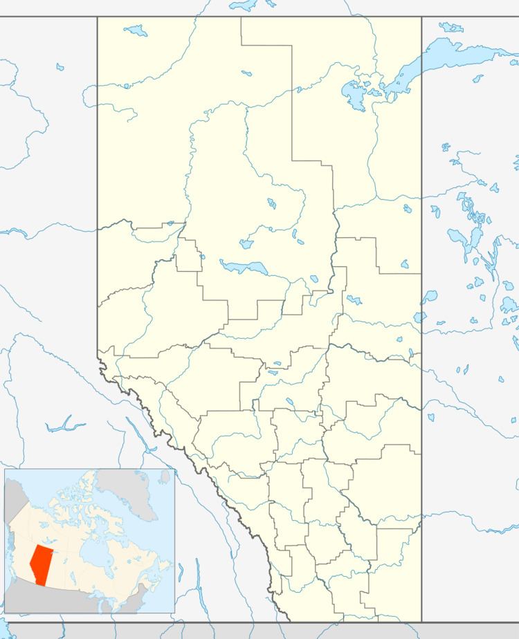
Map of Cereal, AB, Canada
Demographics
In the 2016 Census of Population conducted by Statistics Canada, the Village of Cereal recorded a population of 111 living in 59 of its 63 total private dwellings, a 2998828000000000000♠−17.2% change from its 2011 population of 134. With a land area of 0.79 km2 (0.31 sq mi), it had a population density of 140.5/km2 (363.9/sq mi) in 2016.
In the 2011 Census, the Village of Cereal had a population of 134 living in 71 of its 79 total dwellings, a 6.3% change from its 2006 population of 126. With a land area of 0.95 km2 (0.37 sq mi), it had a population density of 141.1/km2 (365.3/sq mi) in 2011.
In 2006, Cereal had a population of 126 living in 68 dwellings, a 32.6% decrease from 2001. The Village has a land area of 0.95 km2 (0.37 sq mi) and a population density of 133.2/km2 (345/sq mi).
