Settled ca. 1850 Time zone EST (UTC-5) Population 7,591 (2011) | Formed 2001 Postal Code N0M | |
 | ||
Central huron secondary school clinton ontario
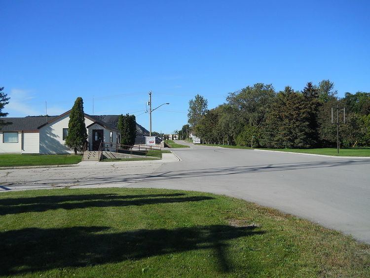
Central Huron is a township in western Ontario, Canada, in Huron County. It is situated on Lake Huron between the Maitland River and the Bayfield River.
Contents
- Central huron secondary school clinton ontario
- Map of Central Huron ON Canada
- Demographics
- Communities
- References
Map of Central Huron, ON, Canada
The Municipality of Central Huron was formed on January 1, 2001, when the Town of Clinton, the Township of Hullett and the Township of Goderich were amalgamated.
Demographics
Population trend:
Communities
References
Central Huron Wikipedia(Text) CC BY-SA
