
Country United States County Fayette GNIS feature ID 0467576 Area 95.13 km² Population 313 (2010) | State Iowa Time zone CST (UTC-6) Elevation 342 m Local time Tuesday 9:27 AM | |
 | ||
ZIP codes 50655, 50674, 52142, 52147, 52164 Weather 4°C, Wind W at 37 km/h, 56% Humidity | ||
Center Township is one of twenty townships in Fayette County, Iowa, USA. As of the 2010 census, its population was 313.
Contents
- Map of Center IA USA
- Geography
- Cities towns villages
- Adjacent townships
- Cemeteries
- Major highways
- Airports and landing strips
- Landmarks
- School districts
- Political districts
- References
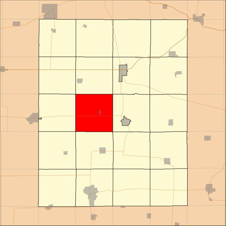
Map of Center, IA, USA
Geography
According to the United States Census Bureau, Center Township covers an area of 36.73 square miles (95.13 square kilometers); of this, 36.69 square miles (95.03 square kilometers, 99.89 percent) is land and 0.04 square miles (0.11 square kilometers, 0.12 percent) is water.
Cities, towns, villages
The town of Randalia is located in Center township. It is the only incorporated community. The disincorporated community of Donnan was located at 42.896091°N 91.877944°W / 42.896091; -91.877944.
Adjacent townships
Cemeteries
The township contains these three cemeteries: Center Grove, Dunham's Grove and Fayette County Farm.
Major highways
Airports and landing strips
Landmarks
School districts
Political districts
References
Center Township, Fayette County, Iowa Wikipedia(Text) CC BY-SA