
Time zone CST (UTC-6) Elevation 374 m Local time Tuesday 9:35 AM Area code 479 | Established 1880 GNIS feature ID 69782 Area 55.2 km² Population 3,449 (2000) | |
 | ||
Weather 8°C, Wind NW at 13 km/h, 50% Humidity | ||
Center Township is one of thirty-seven townships in Washington County, Arkansas, USA. At the 2000 census, its total population was 3,449.
Contents
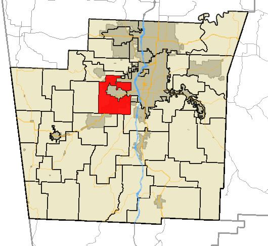
Map of Center Township, AR, USA
Geography
According to the United States Census Bureau, Center Township covers an area of 21.3 square miles (55 km2); all land. Center Township was created in 1880 from parts of Prairie and Marrs Hill Townships. It has three disconnected sections.
Cities, towns, villages
Cemeteries
The township contains one cemetery, Cemetery Hill.
Major routes
References
Center Township, Washington County, Arkansas Wikipedia(Text) CC BY-SA