
Time zone CST (UTC-6) Elevation 336 m Local time Monday 11:25 AM Area code 479 | Established before 1850 GNIS feature ID 69795 Area 53.4 km² Population 898 (2000) | |
 | ||
Weather 4°C, Wind NW at 27 km/h, 62% Humidity | ||
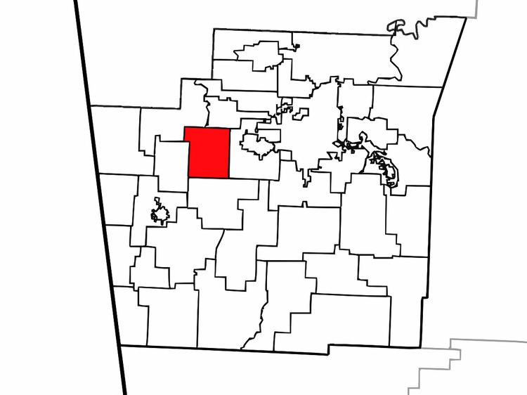
Marrs Hill Township (formerly Mars Hill, Mar Hill, and Marr's Hill) is one of thirty-seven townships in Washington County, Arkansas, USA. As of the 2000 census, its total population was 898.
Contents
Map of Marrs Hill Township, AR, USA
Geography
According to the United States Census Bureau, Marrs Hill Township covers an area of 20.6 square miles (53 km2); all land.
Cities, towns, villages
Cemeteries
The township contains Bell Cemetery and Rose Cemetery.
Major routes
The township contains no state highways.
References
Marrs Hill Township, Washington County, Arkansas Wikipedia(Text) CC BY-SA