
Country United States of America | ||
 | ||
The Cedar River is a 38.5-mile-long (62.0 km) river in the central Adirondacks, in Hamilton County, New York. It rises at the outlet of the Cedar Lakes in the town of Arietta and flows northeast into the town of Lake Pleasant, where it passes through the Cedar River Flow. Continuing northeast and east, it passes through the town of Indian Lake and remote corners of the towns of Minerva and Newcomb to join the Hudson River northeast of the hamlet of Indian Lake. The Northville-Placid Trail goes past the Cedar Lakes and along the Cedar River to the Flow.
Map of Cedar River, New York, USA
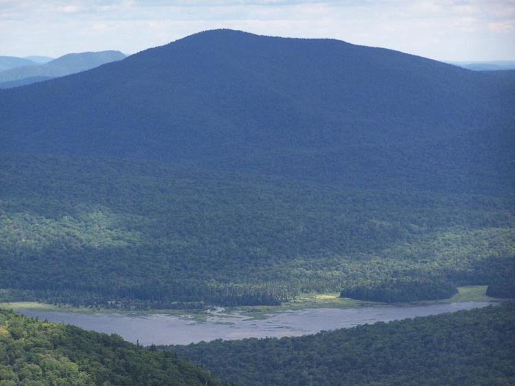
The Cedar River Flow is a remote 640-acre (2.6 km2) shallow lake, created by the Wakely Dam, where there are a number of campsites accessible via a gravel road, 14 miles (23 km) from Indian Lake or 23 miles (37 km) from Inlet. More campsites are accessible via canoe, around the Flow. It lies on the border between the Moose River Plains Wild Forest and the West Canada Lake Wilderness Area.