
Country United States County Essex ZIP codes 12852, 12879 Elevation 593 m Local time Sunday 3:48 AM | State New York Time zone Eastern (EST) (UTC-5) FIPS code 36-50144 Population 436 (2010) Area code 518 | |
 | ||
Weather -9°C, Wind SW at 0 km/h, 84% Humidity Area 604 km² (586.1 km² Land / 17.87 km² Water) | ||
Newcomb is a town in Essex County, New York, United States. The population was 436 at the 2010 census.
Contents
- Map of Newcomb NY 12852 USA
- History
- Geography
- Demographics
- Communities and locations in Newcomb
- References
Map of Newcomb, NY 12852, USA
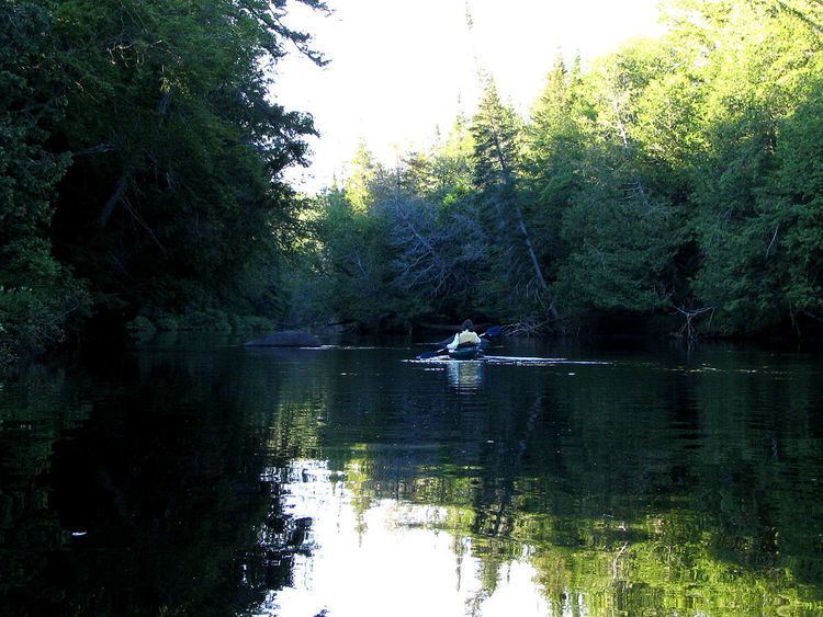
The town is on the west border of the county. It is 86 miles (138 km) by road southwest of Plattsburgh, 77 miles (124 km) southwest of Burlington, Vermont, 110 miles (180 km) northeast of Utica, 112 miles (180 km) north-northwest of Albany, and 146 miles (235 km) south-southwest of Montreal. The town is inside the Adirondack Park and contains the Lake Harris Campground. The town is the largest in area in Essex County.
History
The town lies in an area historically claimed by both Iroquois and Algonquian tribes.
The town was settled around 1816. Most of the early industry was devoted to harvesting lumber until the discovery of large iron ore deposits.
The town of Newcomb was established in 1828 from parts of the towns of Minerva and Moriah. It includes the hamlet of Newcomb, but does not contain an incorporated village.
By the end of the 19th century, the town was becoming famous as a sportsman's paradise.
Theodore Roosevelt was informed of the impending death of President William McKinley in September 1901 while hunting and hiking in the town.
Camp Santanoni and the Mount Adams Fire Observation Station, located atop Mount Adams, are listed on the National Register of Historic Places.
Geography
According to the United States Census Bureau, the town has a total area of 233.2 square miles (603.9 km2), of which 226.3 square miles (586.0 km2) is land and 6.9 square miles (17.9 km2), or 2.96%, is water. The Hudson River officially starts at Henderson Lake in the northeast part of town and flows southward through the center of town.
The northern part of the west town line is the border of Hamilton County. The western part of the north town line is the border of Franklin County.
New York State Route 28N, an east-west road, is a major highway in Newcomb.
Demographics
As of the census of 2000, there were 481 people, 211 households, and 140 families residing in the town. The population density was 2.1 people per square mile (0.8/km²). There were 655 housing units at an average density of 2.9 per square mile (1.1/km²). The racial makeup of the town was 95.22% White, 0.62% Native American, 0.62% from other races, and 3.53% from two or more races. Hispanic or Latino of any race were 0.42% of the population.
There were 211 households out of which 19.9% had children under the age of 18 living with them, 60.2% were married couples living together, 4.3% had a female householder with no husband present, and 33.2% were non-families. 30.3% of all households were made up of individuals and 16.1% had someone living alone who was 65 years of age or older. The average household size was 2.26 and the average family size was 2.81.
In the town, the population was spread out with 19.5% under the age of 18, 3.7% from 18 to 24, 18.9% from 25 to 44, 31.0% from 45 to 64, and 26.8% who were 65 years of age or older. The median age was 51 years. For every 100 females there were 96.3 males. For every 100 females age 18 and over, there were 93.5 males.
The median income for a household in the town was $32,639, and the median income for a family was $41,875. Males had a median income of $35,750 versus $28,750 for females. The per capita income for the town was $17,043. About 5.8% of families and 9.1% of the population were below the poverty line, including 19.5% of those under age 18 and 3.5% of those age 65 or over.