
Country Australia Status Operational Area 22 ha | Opening date 1987 (1987) Surface elevation 135 m Catchment area 17.8 km² | |
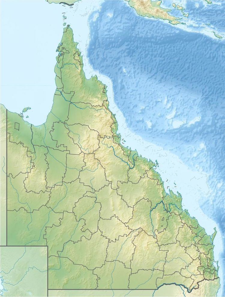 | ||
Location | ||
The Cedar Pocket Dam is a partially concrete gravity and rock and earth-fill embankment dam with an un-gated spillway located across the Deep Creek in the Wide Bay–Burnett region of Queensland, Australia. The main purpose of the dam is for irrigation, where the dam provides regulated water supplies along Deep Creek, a tributary of the Mary River.
Contents
Location and featuresEdit
The Cedar Pocket Dam is located about 12 km (7.5 mi) east of Gympie.
The dam wall is 20 metres (66 ft) high and 117 metres (384 ft) long and holds back 730 megalitres (26×10^6 cu ft) of water when at full capacity. The surface area of the reservoir is 22 hectares (54 acres) and the catchment area is 17.8 square kilometres (6.9 sq mi). The uncontrolled un-gated spillway has a discharge capacity of 1,110 cubic metres per second (39,000 cu ft/s). The dam is managed by Seqwater.
RecreationEdit
There is a scenic lookout at Cedar Pocket Dam, however, picnic facilities and public toilets are unavailable.