
Area 150 ha | Official website Official website Max length 4.2 km | |
 | ||
Similar Viñales Valley, Plaza Vieja - Havana, Morro Castle, Old Havana, Plaza de la Catedral | ||
Cuba exploracaf cayo levisa
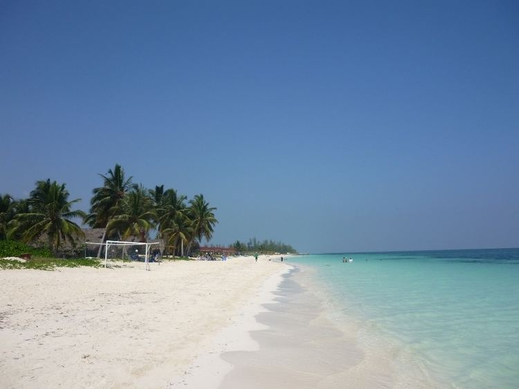
Cayo Levisa is a cay in Pinar del Río Province, Cuba. Accessible only through boats from Palma Rubia, the white sand beaches on its north coast attract tourism. It has several snorkeling and diving sites. It is part of the Colorados Archipelago coral reef and well known for its black coral.
Contents
- Cuba exploracaf cayo levisa
- Map of Cayo Levisa Cuba
- Cayo levisa cuba s most beautiful beach tramagic travel
- GeographyEdit
- ClimateEdit
- References
Map of Cayo Levisa, Cuba
There is a hotel facility on the island made up of roughly 20 cottages.
Cayo levisa cuba s most beautiful beach tramagic travel
GeographyEdit
The cay is roughly 1.5 km² (150 hectares) in size and 4.2 km long. It is several hundred yards wide in most points, with a maximum width of 750 m and a minimum of 280 m. It is located roughly 100 km west of Havana. Swamps cover more than three quarters of the surface of the island; the south side is inaccessible due to a forest of mangroves.
ClimateEdit
The average temperature in Cayo Levisa is between 21°C and 33°C and the water temperature varies between 1°C and 3°C.