
 | ||
Cavarus Point (Bulgarian: нос Кавар, ‘Nos Kavar’ \'nos ka-'var) is the mostly ice-covered point on the south side of the entrance to Zimen Inlet and the north side of the entrance to Brentopara Inlet on Oscar II Coast in Graham Land. It is situated on the east coast of Churchill Peninsula. The feature is named after King Cavarus, a Celtic ruler in Thrace (3rd century BC).
Contents
Location
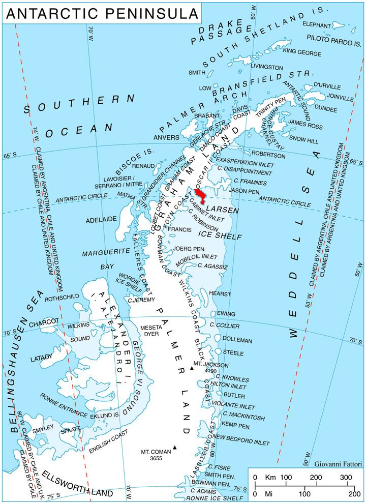
Cavarus Point is located at 66°35′43″S 62°31′25″W, which is 16.36 km north of Cape Alexander, 12.8 km south of Slav Point, and 36.48 km west-southwest of Veier Head on Jason Peninsula. British mapping in 1974.
Maps
References
Cavarus Point Wikipedia(Text) CC BY-SA