Intercommunality CREA Area 3.68 km² Local time Tuesday 12:48 AM | Region Normandy Time zone CET (UTC+1) Population 9,904 (1999) | |
 | ||
Weather 7°C, Wind W at 21 km/h, 85% Humidity | ||
Caudebec-lès-Elbeuf is a commune in the Seine-Maritime department in the Haute-Normandie region in northern France.
Contents
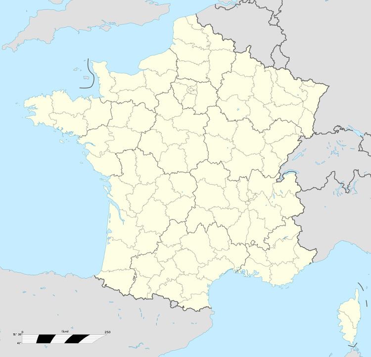
Map of Caudebec-l%C3%A8s-Elbeuf, France
Geography
A residential and light industrial town situated by the banks of the river Seine, some 13 miles (21 km) south of Rouen, at the junction of the D919 and the D921 roads.
It used to be the site of the Caudebec bore, or tidal wave, which several times a year rushed up the river from the sea. However the tidal estuary was changed to improve shipping access and the bore ceased to function.
Places of interest
Twin towns
References
Caudebec-lès-Elbeuf Wikipedia(Text) CC BY-SA
