Time zone MST (UTC-7) Area 3.36 km² | Elevation 6,030 ft (1,840 m) Area code(s) 970 Population 641 (2010) | |
 | ||
Cattle Creek is a census-designated place (CDP) in Garfield County, Colorado, United States. The population as of the 2010 census was 641.
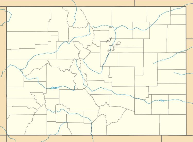
Map of Cattle Creek, Colorado 81601, USA
It is located in southeastern Garfield County along Colorado State Highway 82 in the valley of the Roaring Fork River. Cattle Creek, a tributary of the Roaring Fork, forms the southern edge of the CDP. Highway 82 leads north 7 miles (11 km) to Glenwood Springs, the county seat, and south 6 miles (10 km) to Carbondale. According to the U.S. Census Bureau, the area of the CDP is 1.30 square miles (3.36 km2), all of it land.
References
Cattle Creek, Colorado Wikipedia(Text) CC BY-SA
