Samiksha Jaiswal (Editor)

Catskill Creek

Updated on
Edit
Like
Comment
Share on FacebookTweet on TwitterShare on LinkedInShare on Reddit
- location
  
Broome, New York

- elevation
  
0 ft (0 m)

Mouth
  
Catskill

- location
  
Catskill, New York

Basin area
  
1,020 km²

Country
  
United States of America

Catskill Creek imggeocachingcomcache3a6988ab96bd482c91a28

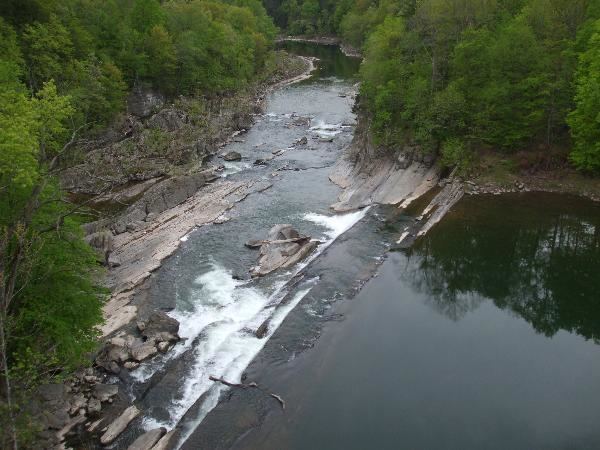
Catskill Creek is a 46.0-mile-long (74.0 km) tributary of the Hudson River that drains the east northern Catskill Mountains of the U.S. state of New York. From its source at Franklinton Vlaie in Schoharie County it flows southeast through parts of Albany County and Greene County to its mouth at the village of Catskill on the Hudson River.

Contents

Map of Catskill Creek, New York, USA

Like Fishkill Creek, Catskill Creek is tautological, literally repeating "creek" twice, as kill means “creek” in Dutch.

TributariesEdit

  • Lake Creek
  • Fox Creek
  • Potter Hollow Creek
  • Tenmile Creek
  • Eightmile Creek
  • Thorpe Creek
  • Cornwallville Creek
  • Fall Creek
  • Bowery Creek
  • Basic Creek - May be a corruption of a Native American word, quassik, “a stone”.
  • Platte Kill
  • Shingle Kill
  • Jan De Bakkers Kill
  • Bell Brook
  • Potic Creek - From the Native American name, po-tuck or petukqui, “round”.
  • Cob Creek
  • Grapeville Creek
  • West Medway Creek
  • Lake Brook
  • Kaaterskill Creek
  • Beaver Kill
  • Kiskatom Brook
  • Hans Vosen Kill
  • References

    Catskill Creek Wikipedia