
Country Spain Demonym(s) Catinenc, catinenca Elevation 661 m Local time Tuesday 12:16 AM | Autonomous community Valencian Community Judicial district Castelló de la Plana Time zone CET (UTC+1) Area 102.3 km² Population 787 (2014) | |
 | ||
Weather 8°C, Wind NW at 26 km/h, 58% Humidity | ||
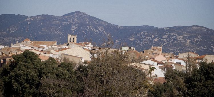
Catí is a municipality in the comarca of Alt Maestrat, Castellón, Valencia, Spain.
Contents
Map of 12513 Cat%C3%AD, Castell%C3%B3n, Spain
The municipality of Catí limits with the following municipal terms: Ares del Maestre, Morella, Chert, Tírig, Salsadella, Sant Mateu and Albocàsser all of them located in the province of Castellón.
Geography
Catí is situated at 661 metres (2,169 ft) above sea level, in the widst of a broad valley which is called "Catí Corridor" in the Alt Maestrat region. Geographically this area marks the boundary between the Ports region to which Catí belonged historically, and the Baix Maestrat, the centre of the mountainous area that connects El Ports of Morella with the Maestrat mountains, like Serra de Vallivana, Serra d'En Celler, Tossal de la Nevera and Tossal de la Barbuda.
Villages
The municipality of Catí includes the following villages and hamlets:
History
On January 25, 1239, Catí was given to populate by Blasco of Alagón to Ramon de Bocona and to forty residents more, this fact was confirmed by king James I of Aragon. The surnames of those neighbors are supposed to come from the land of Lleida. Fidelity was Ramon de Bocona's main virtue which is recognized in his shield weapon whose main figure is walking a dog, a symbol of active loyalty.
Catí has participated in many of the historic events surrounding nearby Morella. Knights from Catí took part in the conquest of Mazalquivir, Oran and Bougie, in the ship belonging to the Bayle of Morella, despite the fact that the town of Catí, along with other neighboring villages, began in 1292 a lawsuit against Morella. The matter was not settled until 1691.