Country United States Time zone Eastern (EST) (UTC-5) Zip code 40502 Area code 859 | Area 30 ha Population 208 (2000) | |
 | ||
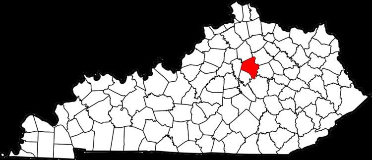
Castlegate is a neighborhood in southeastern Lexington, Kentucky, United States. its boundaries are Alumni Drive to the north and east, Chinoe Road to the west, and a combination of Colt Neck Lane and Lakeside Drive to the south.
Contents
Map of Castlegate, Lexington, KY 40502, USA
Neighborhood statistics
References
Castlegate, Lexington Wikipedia(Text) CC BY-SA
