
Elevation 12,545 ft (3,824 m) | Prominence 420 ft (130 m) | |
 | ||
People also search for Bowback Mountain, Mount Villard | ||
Castle Rock Spire (12,545 feet (3,824 m)) is in the Beartooth Mountains in the U.S. state of Montana. The peak is one of the tallest in the Beartooth Mountains, the seventh tallest in Montana and in the Absaroka-Beartooth Wilderness of Custer and Gallatin National Forests. Castle Rock Spire is only .50 mi (0.80 km) WSW of Castle Mountain. The Sundance Glacier lies on the north slopes of the peak.
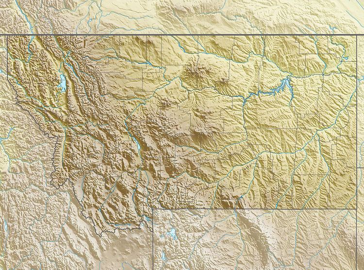
Map of Castle Rock Spire, Montana 59068, USA
References
Castle Rock Spire Wikipedia(Text) CC BY-SA