
Prominence 545 ft (166 m) Topo map USGS Granite Peak | Elevation 3,763 m | |
 | ||
People also search for Cairn Mountain, Bowback Mountain | ||
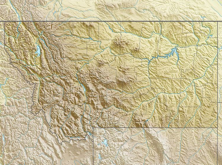
Mount Villard (12,350 feet (3,760 m)) is in the Beartooth Mountains in the U.S. state of Montana. The peak is one of the tallest in the Beartooth Mountains and is in the Absaroka-Beartooth Wilderness on the border of Custer and Gallatin National Forests. Hidden Glacier lies to the northwest of the peak.
Map of Mt Villard, Montana 59020, USA
References
Mount Villard Wikipedia(Text) CC BY-SA