
County Murray | Carwoola Parish Molonglo | |
 | ||
LGA(s) Queanbeyan-Palerang Regional Council | ||
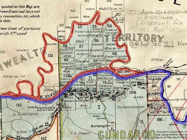
Carwoola Parish is a parish of Murray County, a cadastral unit for use on land titles. It is located to the south of the Australian Capital Territory and to the south-east of Queanbeyan. The original northern and eastern boundary was the Molonglo River; this is still the boundary for most of the parish, except in the north, where the relatively small area north of the Queanbeyan-Goulburn railway line (at 35°19′42″S 149°17′45″E ) was transferred to the ACT in 1909. The south-western boundary is the Queanbeyan River. Captain's Flat Road is the major road running through the parish.
References
Carwoola Parish Wikipedia(Text) CC BY-SA