
Mission type Cartography COSPAR ID 2005-017A Mission duration 5 years Inclination 97.81° | Operator ISRO SATCAT no. 28649 Launch date 5 May 2005 Inclination 97.81° | |
 | ||
Launch mass 1,560.0 kilograms (3,439.2 lb) Similar Cartosat‑2, Resourcesat‑1, Cartosat‑2A, IRS‑1D, IRS‑1C | ||
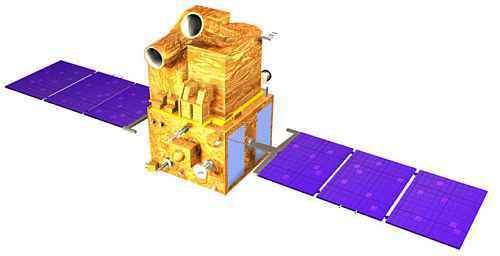
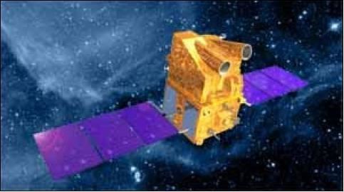
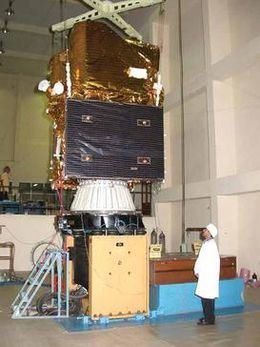
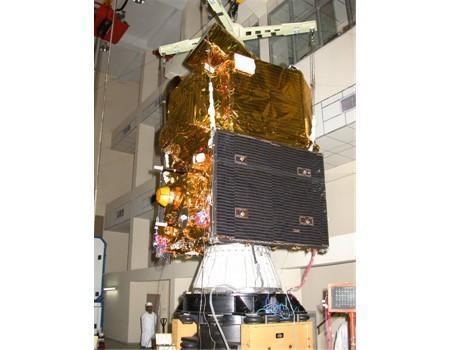
Cartosat-1 or IRS-P5 is a stereoscopic Earth observation satellite in a sun-synchronous orbit, and the first one of the Cartosat series of satellites. The satellite was built, launched and maintained by the Indian Space Research Organisation. Weighing around 1560 kg at launch, its applications will mainly be towards cartography in India. It was launched by PSLV-C6, on 5 May 2005 from the newly built Second Launch Pad at Sriharikota. Images from the satellite will be available from GeoEye for worldwide distribution. The satellite covers the entire globe in 1867 orbits on a 126-day cycle. Adjacent paths are covered with a separation of eleven days.
Contents
- History
- Payload
- Communications
- Optics Detectors
- Spatial resolution
- Temporal resolution
- Radiometric resolution
- Swath
- References
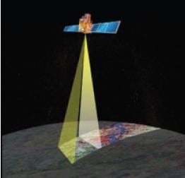
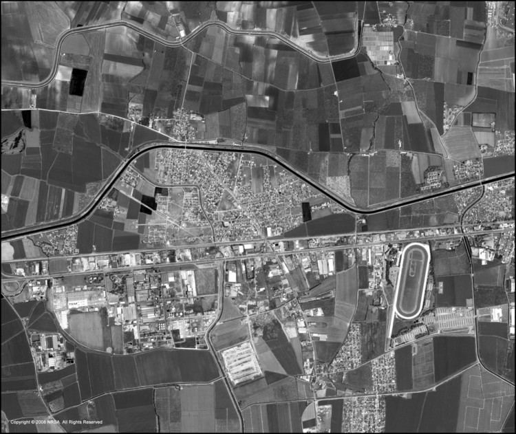
Cartosat-1 carries two state-of-the-art panchromatic (PAN) cameras that take black and white stereoscopic pictures of the earth in the visible region of the electromagnetic spectrum. The swath covered by these high resolution PAN cameras is 30 km and their spatial resolution is 2.5 metres.
History
Department of Space (DOS),Government of India has launched a series of satellites for Earth’s resource management and monitoring. These satellites have been very successful in providing data in various scales ranging from 1:1 Million to 1:12,500 scale. Each of the Indian Remote Sensing satellite missions ensured data continuity while introducing improvements in the spatial, spectral and radiometric resolutions. Considering increase demand for large scale and topographic mapping data DOS launched the Cartosat-1 in 2005. Cartosat-1 is dedicated to stereo viewing for large scale mapping and terrain modelling.
Payload
The Cartosat-1 satellite has two panchromatic cameras with 2.5 m spatial resolution, to acquire two images simultaneously, one forward looking (FORE) at +26 degrees and one aft of the satellite at -5 degrees for near instantaneous stereo data. The time difference between the acquisitions of the same scene by the two cameras is about 52 seconds. The spacecraft body is steerable to compensate the earth rotation effect and to force both fore and aft cameras to look at the same ground strip when operated in stereo mode. The cameras are mounted on the satellite in such a way that near simultaneous imaging of the same area from two different angles is possible. This facilitates the generation of accurate three-dimensional maps. The cameras are steerable across the direction of the satellite's movement to facilitate the imaging of an area more frequently.
Communications
The images taken by Cartosat-1 cameras are compressed, encrypted, formatted and transmitted to the ground stations. The images are reconstructed from the data received at the ground stations. The National Remote Sensing Centre is responsible for acquisition, processing of data relayed by the Cartosat-1. A spherical Phased Array Antenna with steerable beam is used to transmit the data to the required ground station. A solid state recorder with 120 Gb capacity to store about 9 minutes of payload data is available for global operation of the payloads. The stored images can be transmitted when the satellite comes within the visibility zone of a ground station.
Optics & Detectors
Each Panchromatic camera consists of three 3 mirror off-axis all reflective telescope with primary, secondary and tertiary mirrors. These mirrors are made from special zerodur glass blanks and are light weighted to about 60%. These mirrors are polished to an accuracy of l/80 and are coated with enhanced AlO2 coating. In order to meet the high resolution and the swath requirement a 12K, 7 µm linear array CCD is used as a detector.
Spatial resolution
Temporal resolution
The revisit rate for Cartosat-1 is five days.
Radiometric resolution
The sensor collects data with a 10-bit sensitivity.
Swath
30 km (PAN-F) and 25 km (PAN-A)