
Airport type Public Elevation AMSL 759 ft / 231 m 5,760 1,756 Elevation 231 m | 1/19 5,760 Code VPC Phone +1 770-382-9800 | |
 | ||
Owner Cartersville Bartow Airport Authority Address 155 GA-61, Cartersville, GA 30120, USA Similar Carmike 12, Grown Ups, NCG Cinemas, Precinct One Auto Sales, George F Willis Realty | ||
Mah000361 rc super cub set up for landing at cartersville airport new pan and tilt camera hd
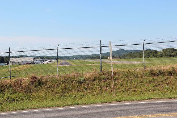
Cartersville Airport (ICAO: KVPC, FAA LID: VPC) is a public use airport located three nautical miles (6 km) southwest of the central business district of Cartersville, in Bartow County, Georgia, United States. It is owned by the Cartersville Bartow Airport Authority.
Contents
- Mah000361 rc super cub set up for landing at cartersville airport new pan and tilt camera hd
- 5 bedroom home for sale cartersville airport in ga
- Facilities and aircraft
- References
Although many U.S. airports use the same three-letter location identifier for the FAA and IATA, this facility is assigned VPC by the FAA but has no designation from the IATA.
5 bedroom home for sale cartersville airport in ga
Facilities and aircraft
Cartersville Airport covers an area of 185 acres (75 ha) at an elevation of 759 feet (231 m) above mean sea level. It has one runway designated 1/19 with an asphalt surface measuring 5,760 by 100 feet (1,756 x 30 m).
For the 12-month period ending April 23, 2009, the airport had 50,500 aircraft operations, an average of 138 per day: 89% general aviation, 10% air taxi, and 1% military. At that time there were 145 aircraft based at this airport: 53% single-engine, 19% multi-engine, 15% jet, 1% helicopter and 12% ultralight.