
Country United States ZIP code 33618, 33624 Elevation 12 m Area code 813 | Time zone Eastern (EST) (UTC-5) Website www.carrollwood.com Local time Sunday 1:52 PM | |
 | ||
Weather 24°C, Wind E at 21 km/h, 32% Humidity Restaurants Buca Di Beppo, Vizcaya Restaura and Tapa, Holy Hog Barbecue ‑ Carrollwo, A's Fresh Slice Pizzeria, Famous Greek Salads | ||
Carrollwood is an unincorporated community in Hillsborough County, Florida, United States. Although a separate community, it is a part of the larger census-designated place (CDP) of the same name. The ZIP code for the community is 33618. The community was a census-designated place during the 1990 census, when the community recorded a population of 7,195.
Contents
- Map of Carrollwood Greater Carrollwood FL 33618 USA
- History
- Geography
- Transportation
- Education
- References
Map of Carrollwood, Greater Carrollwood, FL 33618, USA
History
Carrollwood was founded in 1959 and was built out in the 1960s. The community spread westward during the 1970s and 1980s. Carrollwood was struck by a tornado outbreak, which occurred throughout Central Florida on April 4, 1966.
Geography
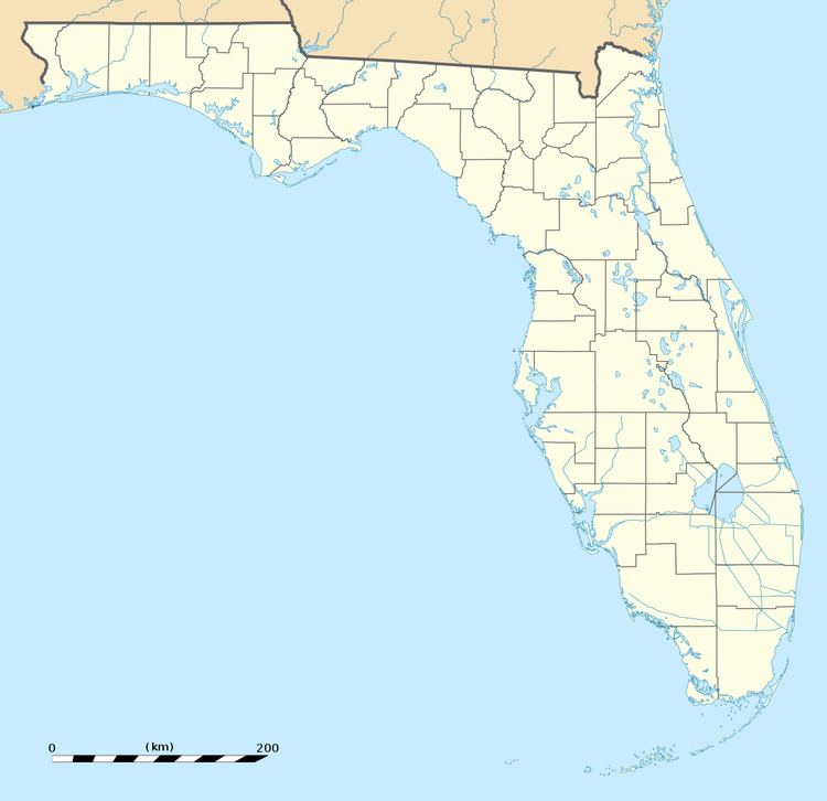
Carrollwood is located at 28.1 degrees north, 82.5 degrees west (28.0523, -82.4858). The elevation for the community is 39 feet above sea level.
Carrollwood boundaries include Lake Magdalene to the north, Tampa to the east, Egypt Lake to the south, and Carrollwood Village to the west.
Transportation
Some of the major roads serving the community are Dale Mabry Highway, Busch Boulevard, and Fletcher Avenue.