
- left Culler Lake | - right Rock Creek | |
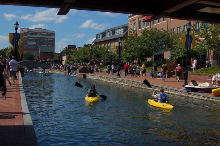 | ||
Carroll Creek is an 8.3-mile-long (13.4 km) tributary of the Monocacy River in Frederick County, Maryland. The headwaters of the creek are located on the eastern slopes of Catoctin Mountain, southeast of Gambrill State Park. The stream runs roughly east through the city of Frederick to the Monocacy, which drains to the Potomac River. The Shawnee Indians, who called the Monocacy River Monnockkesey (which translates as “river with many bends”), named Carroll Creek Walkwaki Methtegui, (which translates as "down in the gully creek").
Map of Carroll Creek, Maryland, USA
References
Carroll Creek (Maryland) Wikipedia(Text) CC BY-SA