
Country United States Time zone Central (CST) (UTC-6) Area 14.74 km² Population 10,013 (2013) | Elevation 1,270 ft (387 m) Area code(s) 712 Zip code 51401 Local time Sunday 12:45 PM | |
 | ||
Weather 15°C, Wind S at 32 km/h, 76% Humidity | ||
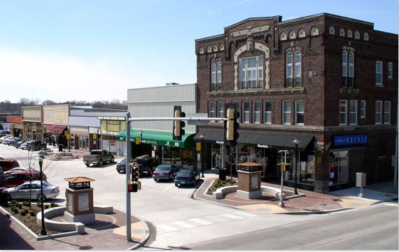
Speculative building carroll iowa
Carroll is a city in and the county seat of Carroll County, Iowa, United States, located along the Middle Raccoon River. The population was 10,103 in the 2010 census, a decline of 3 people from the 10,106 population in the 2000 census.
Contents
- Speculative building carroll iowa
- Map of Carroll IA 51401 USA
- History
- Geography
- 2010 census
- 2000 census
- Notable people
- References
Map of Carroll, IA 51401, USA
History
Carroll was laid out in 1867. It took its name from Carroll County, named in honor of Charles Carroll of Carrollton, Maryland. He was the only Roman Catholic to sign the Declaration of Independence.
In 1869, the centrally located railroad town of Carroll City was selected as the county seat, replacing, with some protest, Carrollton. Later a $4,000 courthouse was constructed on the town square. This building was used until it burned to the ground in 1886. The vaults and records were undamaged, however, and moved to temporary housing in the Joyce Building and Drees' Music Hall.
The following winter a $40,000 bond issue was approved toward the construction of a new, permanent courthouse. The impressive building was built on the northwest corner of the square (the parking lot of the current courthouse). The stone and brick building, complete with a clock tower, was used for more than three-quarters of a century. It was replaced by a modern-looking building in 1965.
A $750,000 bond issue was used to construct and equip the new courthouse. This building was officially dedicated on September 24, 1966. The highlight of the dedication ceremony was the opening of the boxes sealed in the cornerstone of the old courthouse. The bell from the previous courthouse clock tower sits on the courthouse grounds. Source: Marie Hackett, Curator of the Carroll County Historical Museum, 1991
Geography
Carroll is located at 42°4′10″N 94°51′59″W (42.069544, -94.866361).
According to the United States Census Bureau, the city has a total area of 5.69 square miles (14.74 km2), all of it land.
2010 census
As of the census of 2010, there were 10,103 people, 4,357 households, and 2,605 families residing in the city. The population density was 1,775.6 inhabitants per square mile (685.6/km2). There were 4,698 housing units at an average density of 825.7 per square mile (318.8/km2). The racial makeup of the city was 96.0% White, 0.5% African American, 0.1% Native American, 0.7% Asian, 1.5% from other races, and 1.3% from two or more races. Hispanic or Latino of any race were 2.4% of the population.
There were 4,357 households of which 28.6% had children under the age of 18 living with them, 47.7% were married couples living together, 9.0% had a female householder with no husband present, 3.1% had a male householder with no wife present, and 40.2% were non-families. 35.5% of all households were made up of individuals and 16.7% had someone living alone who was 65 years of age or older. The average household size was 2.25 and the average family size was 2.91.
The median age in the city was 42 years. 23.9% of residents were under the age of 18; 6.9% were between the ages of 18 and 24; 22.7% were from 25 to 44; 26.7% were from 45 to 64; and 19.7% were 65 years of age or older. The gender makeup of the city was 47.1% male and 52.9% female.
2000 census
As of the census of 2000, there were 10,106 people, 4,173 households, and 2,649 families residing in the city. The population density was 1,823.2 people per square mile (704.3/km²). There were 4,431 housing units at an average density of 799.4 per square mile (308.8/km²). The racial makeup of the city was 98.57% White, 0.18% African American, 0.10% Native American, 0.51% Asian, 0.28% from other races, and 0.37% from two or more races. Hispanic or Latino of any race were 0.57% of the population.
There were 4,173 households out of which 31.8% had children under the age of 18 living with them, 51.7% were married couples living together, 8.9% had a female householder with no husband present, and 36.5% were non-families. 31.9% of all households were made up of individuals and 16.2% had someone living alone who was 65 years of age or older. The average household size was 2.36 and the average family size was 2.99.
Population spread: 25.9% under the age of 18, 8.0% from 18 to 24, 26.0% from 25 to 44, 20.4% from 45 to 64, and 19.7% who were 65 years of age or older. The median age was 39 years. For every 100 females there were 89.5 males. For every 100 females age 18 and over, there were 85.1 males.
The median income for a household in the city was $39,854, and the median income for a family was $51,020. Males had a median income of $31,124 versus $22,215 for females. The per capita income for the city was $20,442. About 3.4% of families and 5.2% of the population were below the poverty line, including 3.8% of those under age 18 and 7.4% of those age 65 or over.